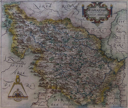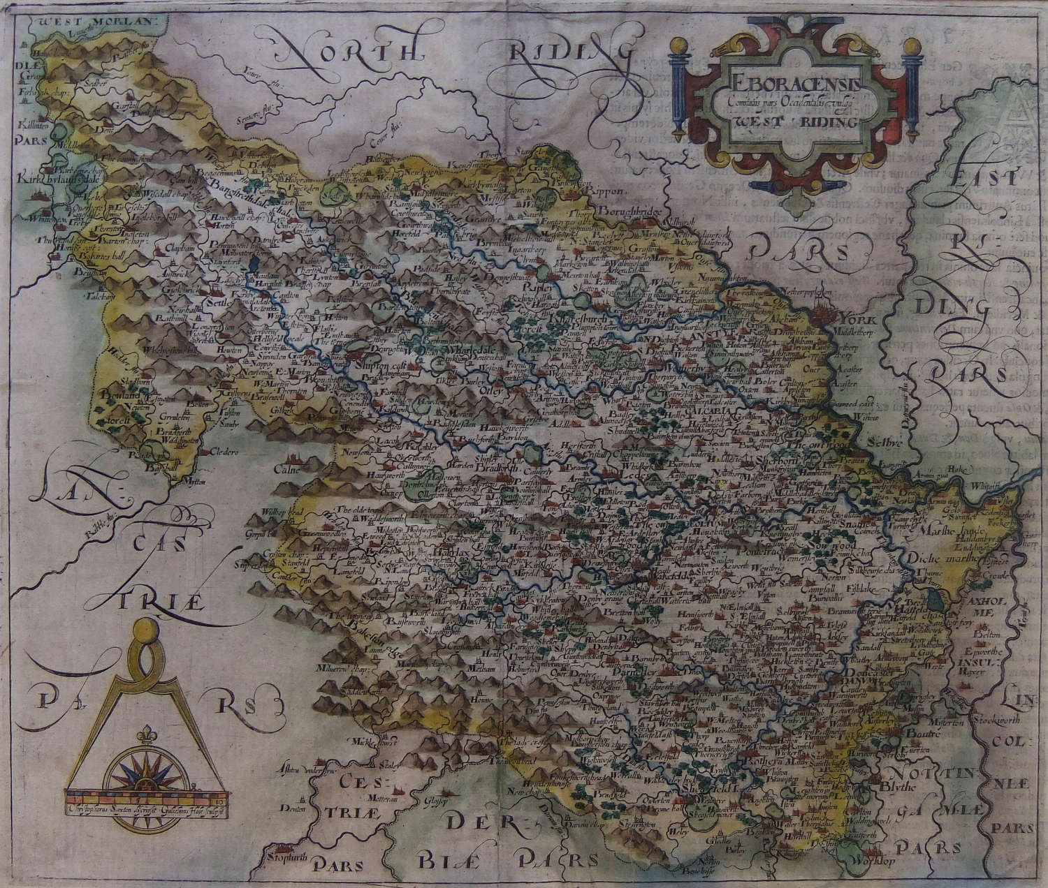
Code: 10827
Dimensions:
This lovely old map of the West Riding of Yorkshire dates from the 17th century. It is a copper-plate engraving with fine original colour. Measuring 11"x 13" this fine old Yorkshire map is mounted giving an overall size of 15"x 17". It is unframed.